
Airport Asset Mapping
Asset mapping of features inside the airport for disaster management, converting existing CAD datasets to GIS and attributing them in ArcGIS Pro.
Cochin International Airport Limited (CIAL)
Geospatial intelligence — since 2016
SysGlob builds the survey, the model and the software that sits on top of it — GIS platforms, LiDAR and photogrammetry, remote sensing, land records and the websites that put them in front of people — for the agencies and engineering teams who carry the consequences of getting it wrong.
Most of our work begins where a client already holds data: decades of paper records, an aging GIS, a survey nobody ever reconciled. We make it current, usable and defensible.
Spatial data modelled properly, then delivered as web, mobile and cloud applications your teams actually use.
Read onIISurvey-grade topography and 3D models, captured and processed so detail arrives while decisions are still cheap.
Read onIIIWhere provenance and tamper-evidence matter — land records above all — we prototype before anyone commits.
Read onIVWebsites and browser tools that load instantly, rank well and need no server to keep alive. Nine put live this year.
Read onParcel geometry linked to rights, ownership and value.
 II
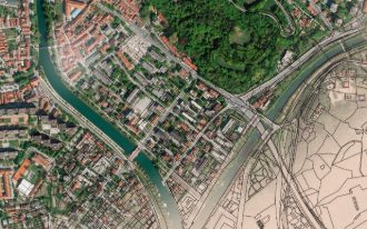
IIChange detection and base mapping for dense urban areas.
 III
IIIInformation about ground conditions without touching them.
 IV
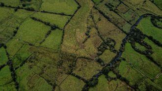
IVHabitat, forestry, hydrology and extraction, mapped over time.
 V
VSurveillance, field reporting and intervention planning.
 VI
VIInventory, condition monitoring and 3D documentation of sites.

Asset mapping of features inside the airport for disaster management, converting existing CAD datasets to GIS and attributing them in ArcGIS Pro.
Cochin International Airport Limited (CIAL)
Developed the terrain obstacle funnels for electronic terrain and obstacle data, modelled and validated in GIS.
Cochin International Airport Limited (CIAL)
Mapped the resulting flood wave for a worst-case Idukki–Mullaperiyar breach using unsteady flow equations, run against a 2.5 m DEM, and derived the evacuation implications.
Rajagiri College of Engineering and Technology, Kochi
 Consultancy
 Training institute
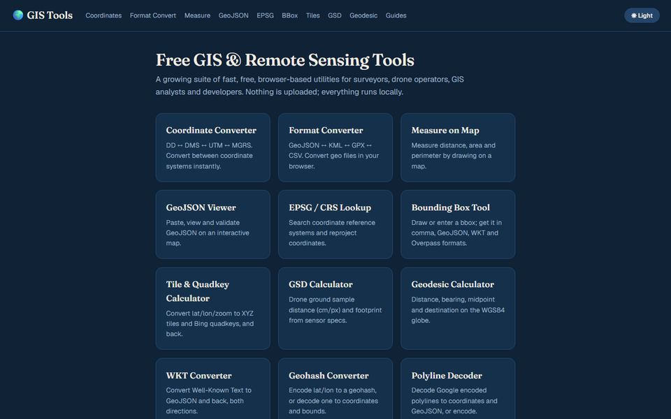 Browser tools
 Public tool
Fixed-scope packages from ₹18,000, a working draft in the first week, and a site that brings enquiries from the day it goes live. Nine are online now: open any of them and judge for yourself.
New — enrolling now
Fifteen days from a written brief to one finished cinematic short — specified, generated and mastered under direction.
From ₹4,000 · Certificate on completion
Ship real web applications with AI assistance — from prompt to deployed, maintainable code.
From ₹4,000 · Certificate on completion
Six stages, fixed check-in points, and one named contact from scoping through to post-launch support.
Your requirement, objectives, existing IT and GIS estate, and who will actually use the result.
Key contacts, decision-makers and data custodians identified before anything is built.
Scope, cost, check-in points and timelines written down clearly, then held to.
Mapping, data conversion and feature-rich custom WebGIS delivered in reviewable increments.
A soft or hard rollout planned around your communications, training and internal goals.
Support, data refresh and iteration long after launch, as the organisation changes.
Trusted by 40+ organisations









It depends on capture method and terrain. We quote a stated accuracy per deliverable — DGPS-controlled work, aerial LiDAR and imagery-derived products all sit in different bands — and we would rather argue about it at scoping than at handover.
That is most of our work. Paper records, an aging GIS, shapefiles with no documented schema, survey that was never reconciled — we audit what exists, tell you what can be salvaged, and price the cleanup honestly.
Not necessarily. We build on both commercial and open-source stacks and will recommend the one your team can maintain, not the one with the largest invoice attached.
We are used to tendered work and phased sanctioning. Scope is broken into fundable stages with deliverables that stand on their own, so a delay in one phase does not strand the earlier ones.
A support and data-refresh arrangement, sized to how fast your data ages. Source data, schema documentation and build artefacts are yours either way.
Tell us the area, the accuracy and the deadline. We will tell you what is realistic.