
Industry Integration
Cadastre
Industry Integration
Cadastre
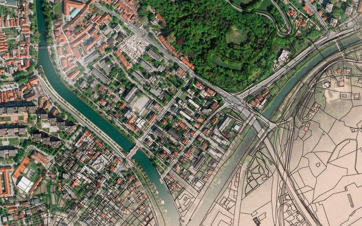
In most countries, legal systems use the cadastre to define the dimensions and location of the land parcels described in legal documentation. It is a fundamental data source in disputes between landowners.
A cadastre usually includes a geometric description of land parcels linked to records covering interests, ownership or control, and often the value of parcels and their improvements.

Services that impact the future.
Insight, accuracy and practical delivery.
Our cadastre services range from map digitization and geo-referencing through to physical DGPS surveys, measurement, linking of RoR data and application development. SysGlob provides end-to-end custom solutions, high-resolution satellite imagery, GIS and cadastral mapping for land records and assessment agencies worldwide.
Discuss a project