
Services — I

Geographic Information System

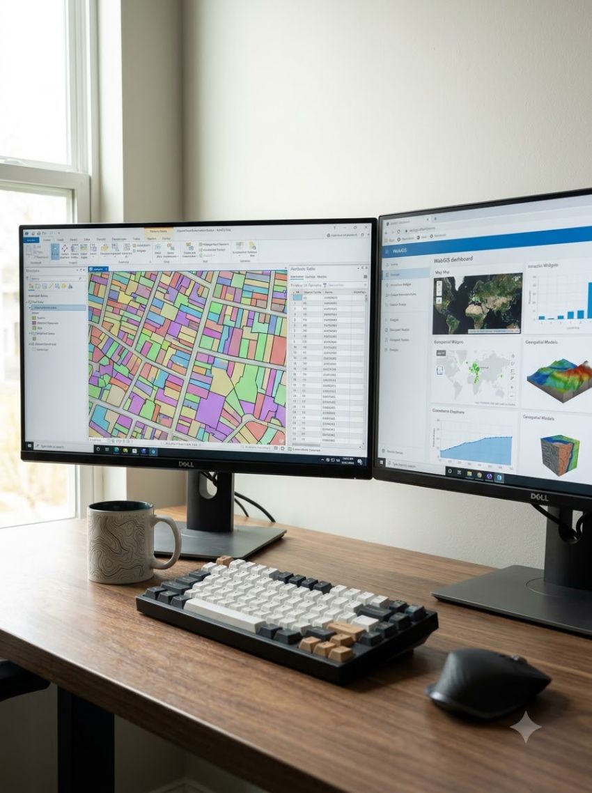
GIS is the spine of everything else we do. We design the data model, migrate and clean legacy records, and build the location-based services on top — custom WebGIS, field apps and cloud pipelines that make spatial data easy to mine, display and hand over.

What the work covers

  • Custom WebGIS and dashboard development
  • Legacy data migration, digitisation and topology cleanup
  • Field data collection apps with offline capture
  • Integration with existing ERP, billing and asset systems

Discuss this work

Insight, accuracy and practical delivery.

Our end-to-end geospatial services range from data capture, conversion and processing through to integration, maintenance and updates. SysGlob has delivered projects for public and private sector customers producing contour maps, atlas maps, tax parcel maps, and thematic and environmental maps from paper maps, digital data, aerial imagery and field-collected information.

We have also adopted artificial intelligence and machine learning techniques that transform the production of high-definition maps for emerging applications.

Trusted by 40+ organisations

  • Partner organization 1
  • Partner organization 2
  • Partner organization 3
  • Partner organization 4
  • Partner organization 5
  • Partner organization 6
  • Partner organization 7
  • Partner organization 8
  • Partner organization 9

Have a dataset that needs to become a decision?

Tell us the area, the accuracy and the deadline. We will tell you what is realistic.

Start a project