Sectors

Six sectors we know the data models for.

Every sector arrives with its own accuracy standard, its own custodians and its own audit trail. We start from those, not from a generic platform.

I

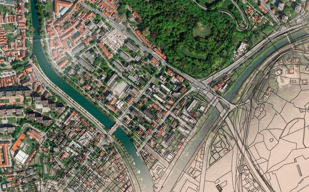
Cadastre & Land Records

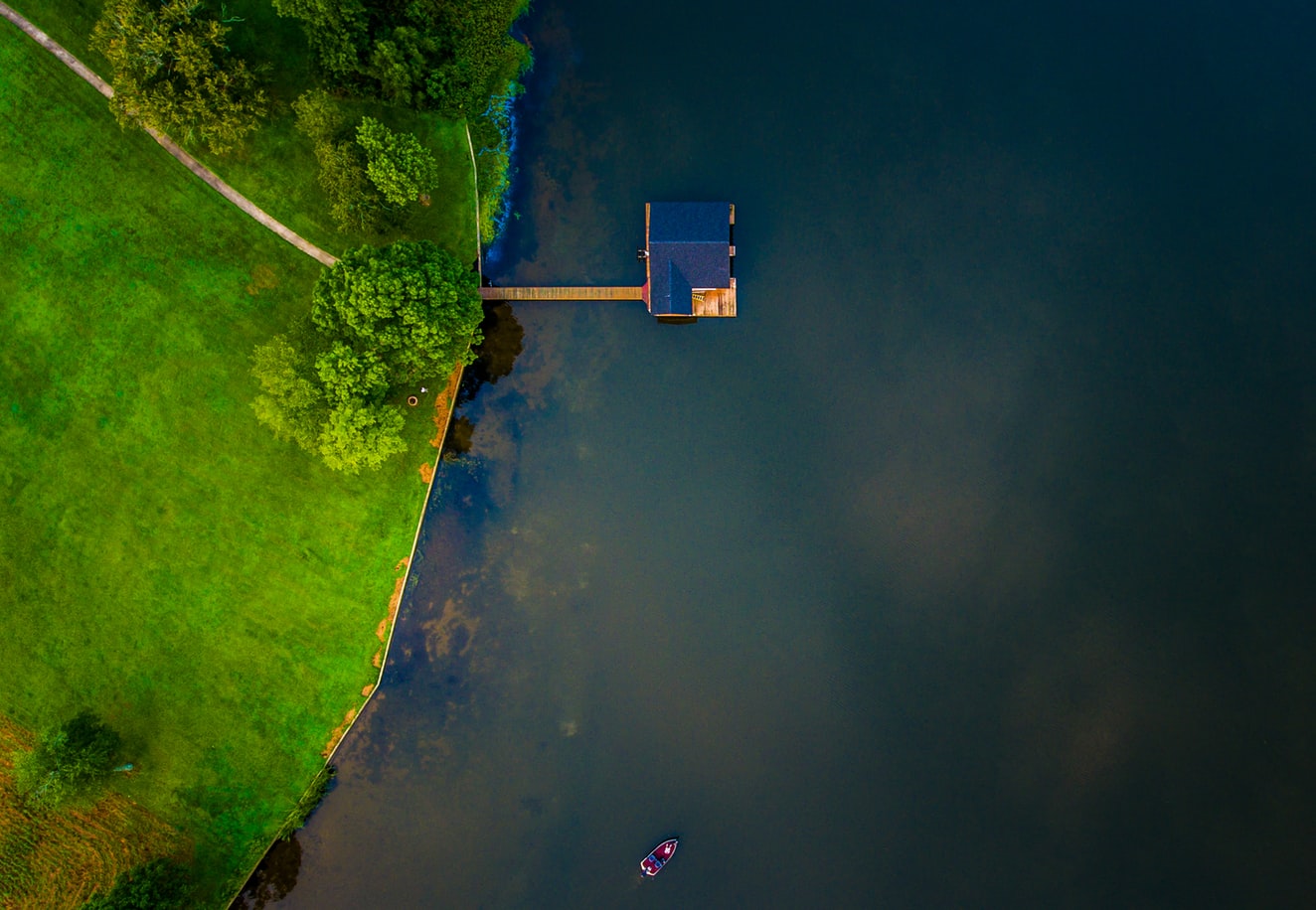
Legal systems define parcel dimension and location through the cadastre, which makes it the first thing examined in any dispute between landowners.

Our services run from map digitisation and geo-referencing through DGPS survey, measurement, RoR linkage and application development — end-to-end for land records and assessment agencies.
Read the detail

II

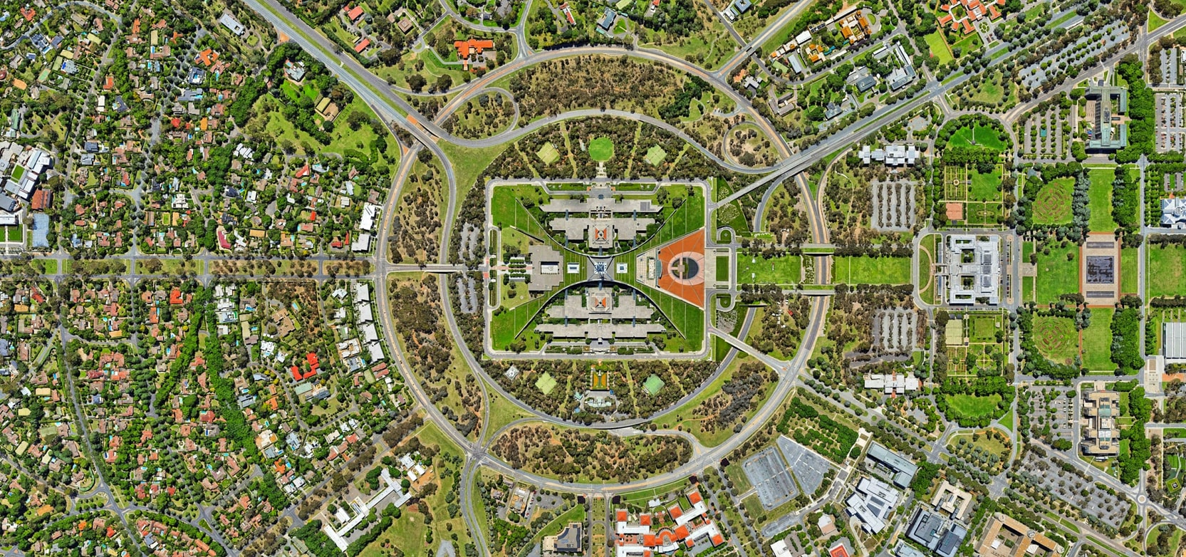
Municipal Planning

Medium and high-resolution imagery lets urban developers and land managers monitor change and plan for it in dense environments.

Pansharpened indices at 30–50cm give the detail needed for vegetation and environmental analysis; medium resolution supports comparison across seasons and years.

Read the detail

III

Remote Sensing

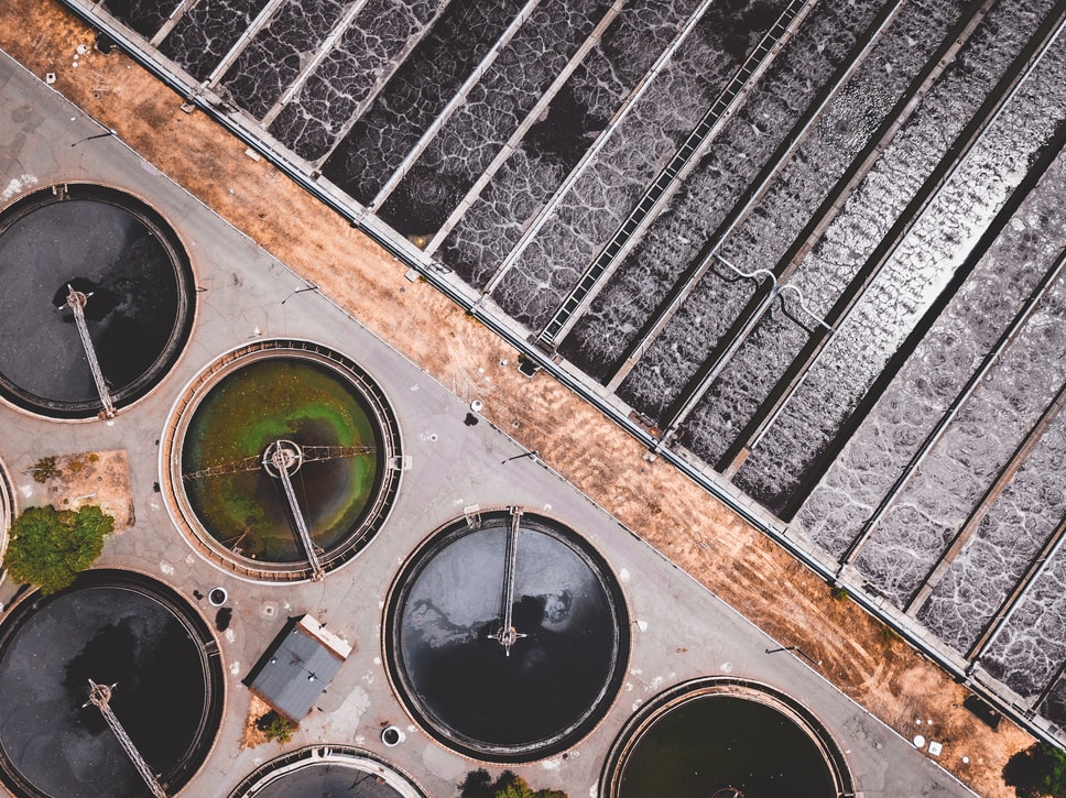
We apply remote sensing across very different project types, from topographic survey through to hydrologic analysis.

Active sensors emit energy and read its reflection; passive sensors read reflected sunlight. Output is rectified in GIS to produce geo-corrected imagery matched to the project.

Read the detail

IV

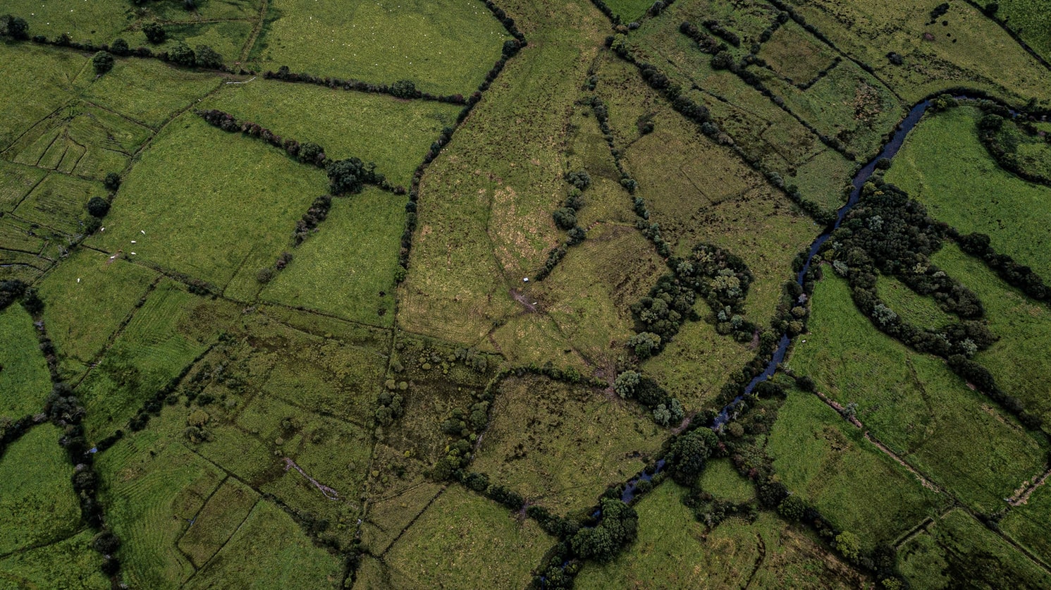
Natural Resources

Biologists, ecologists, hydrologists, foresters and regulators rely on spatial analysis to make defensible calls about shared resources.

Whether the work is restoring habitat, planting crops, drilling or monitoring endangered species, the value is in comparable data captured consistently over years.

Read the detail

V

Health & Sanitation

Health organisations use spatial analysis to understand community need and design interventions that reach the right wards.

We improve field data collection and reporting, support disease surveillance, and produce maps legible enough to brief decision-makers and the public with.

Read the detail

VI

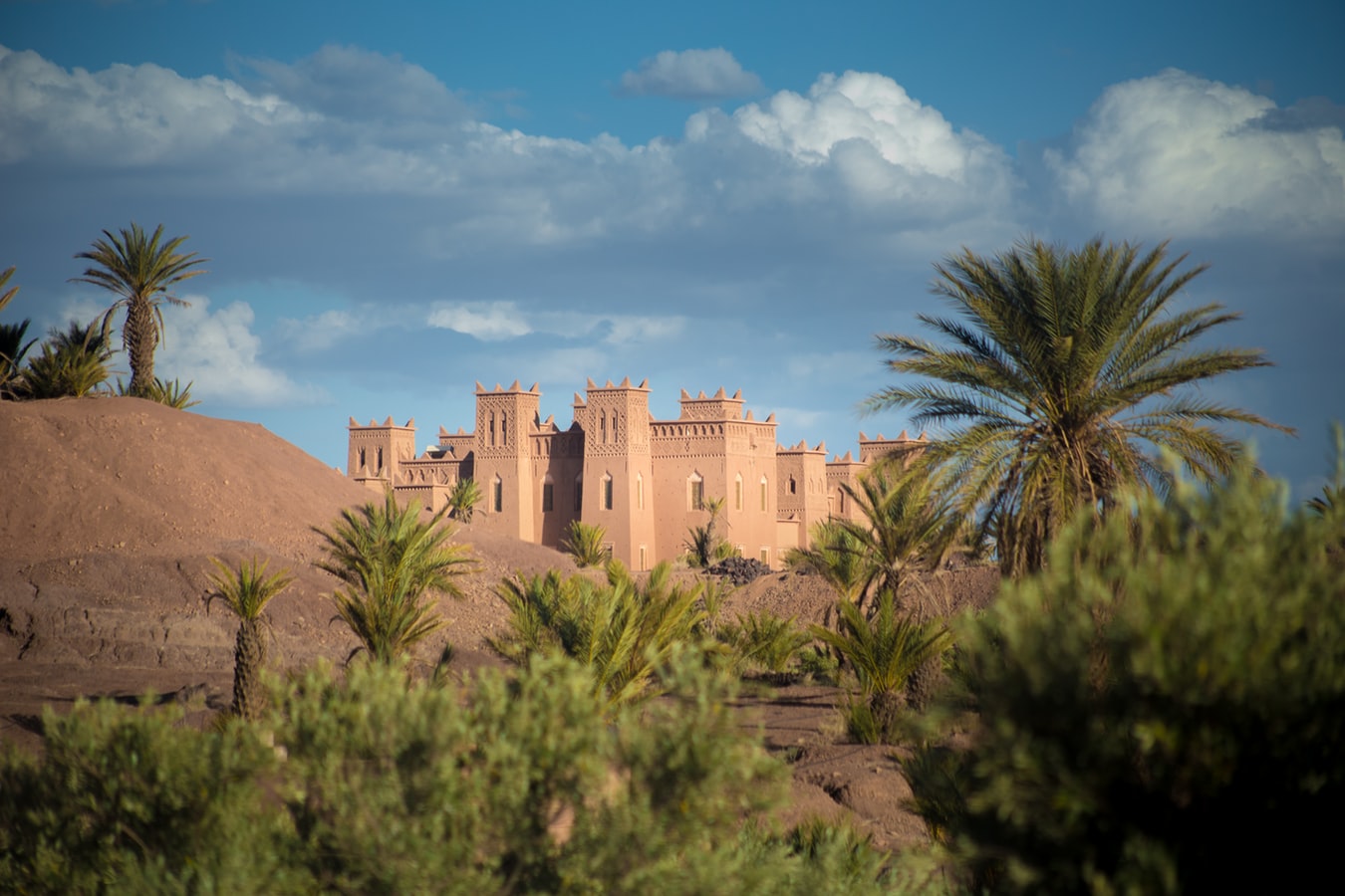
Heritage

GIS, remote sensing and modelling together have become the working toolkit for cultural heritage management.

Combining current and historical survey reveals patterns that guide planning, and 3D models of monuments make complex structures legible enough to argue about intervention.

Read the detail

Have a dataset that needs to become a decision?

Tell us the area, the accuracy and the deadline. We will tell you what is realistic.

Start a project