
Sectors — I

Cadastre & Land Records

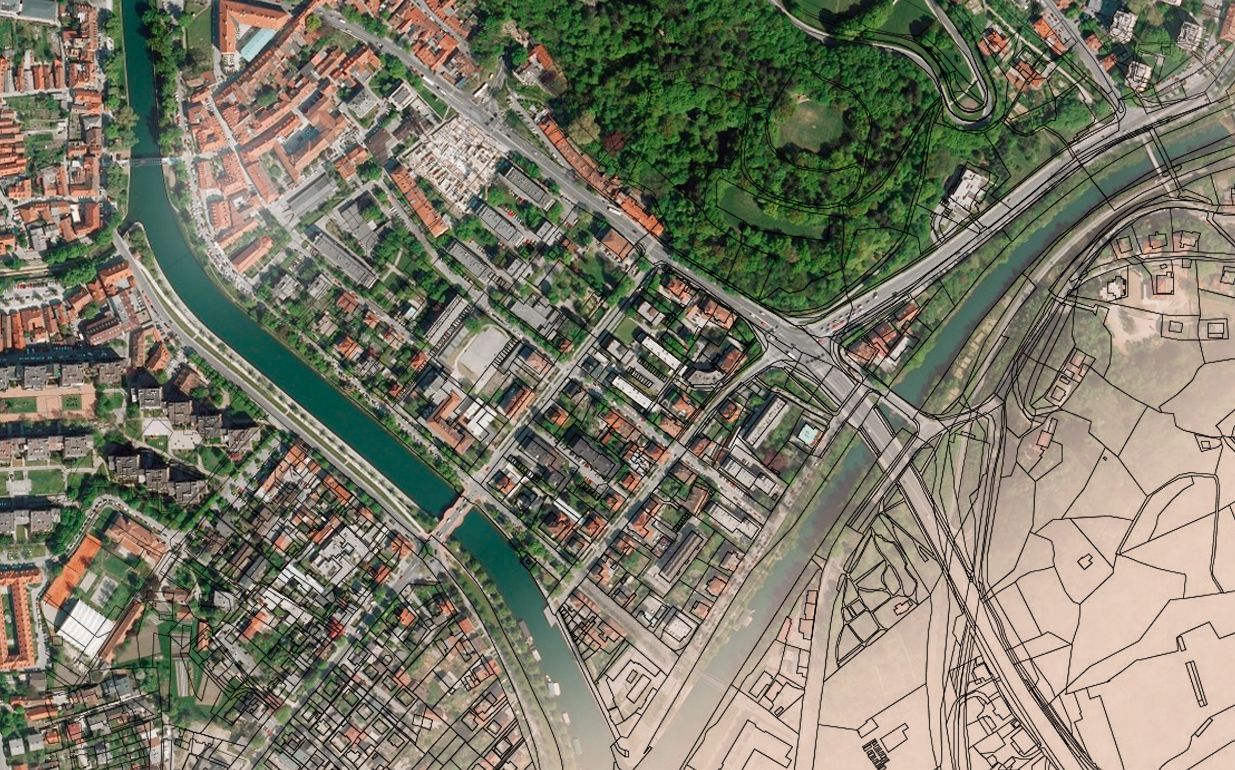
Legal systems define parcel dimension and location through the cadastre, which makes it the first thing examined in any dispute between landowners.

A cadastre usually includes a geometric description of land parcels linked to records covering interests, ownership or control, and often the value of parcels and their improvements.

Discuss this work


How we apply it

Our services run from map digitisation and geo-referencing through DGPS survey, measurement, Record of Rights (RoR) linkage and application development — end-to-end for land records and assessment agencies.

Trusted by 40+ organisations

  • Aurigo
  • ICAR-CMFRI
  • Kerala Forest Department
  • KITCO
  • Kerala Water Authority
  • Meridian
  • MIMS
  • One Earth
  • GeoAlert

Have a dataset that needs to become a decision?

Tell us the area, the accuracy and the deadline. We will tell you what is realistic.

Start a project