
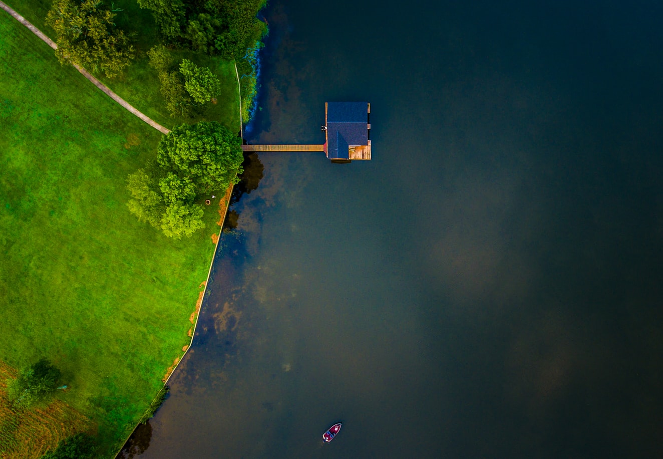
We apply remote sensing across very different project types, from topographic survey through to hydrologic analysis.
We match the capture method to the specific project rather than to a house standard.
Discuss this workSectors — III
We apply remote sensing across very different project types, from topographic survey through to hydrologic analysis.
We match the capture method to the specific project rather than to a house standard.
Discuss this workActive sensors emit energy and read its reflection; passive sensors read reflected sunlight. Output is rectified in GIS to produce geo-corrected imagery matched to the project.
Trusted by 40+ organisations









Tell us the area, the accuracy and the deadline. We will tell you what is realistic.
Ask SysGlob
AI assistant · answers in seconds
Hello. Ask me about our GIS and LiDAR work, website packages and prices, or the AI training courses.
AI answers can be wrong; please don’t share personal details here. For a quote, send an enquiry or WhatsApp us.