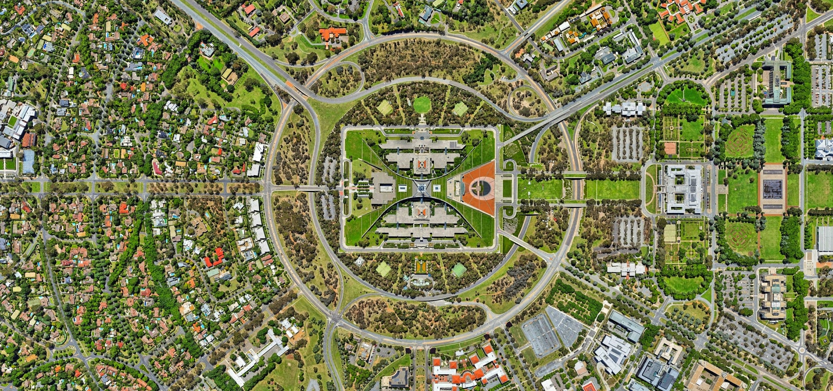
GIS, remote sensing and modelling together have become the working toolkit for cultural heritage management.
Overlaying and combining information in GIS with analysis and visualisation methods makes an important contribution to the sustainable development of historic areas.
Discuss this work