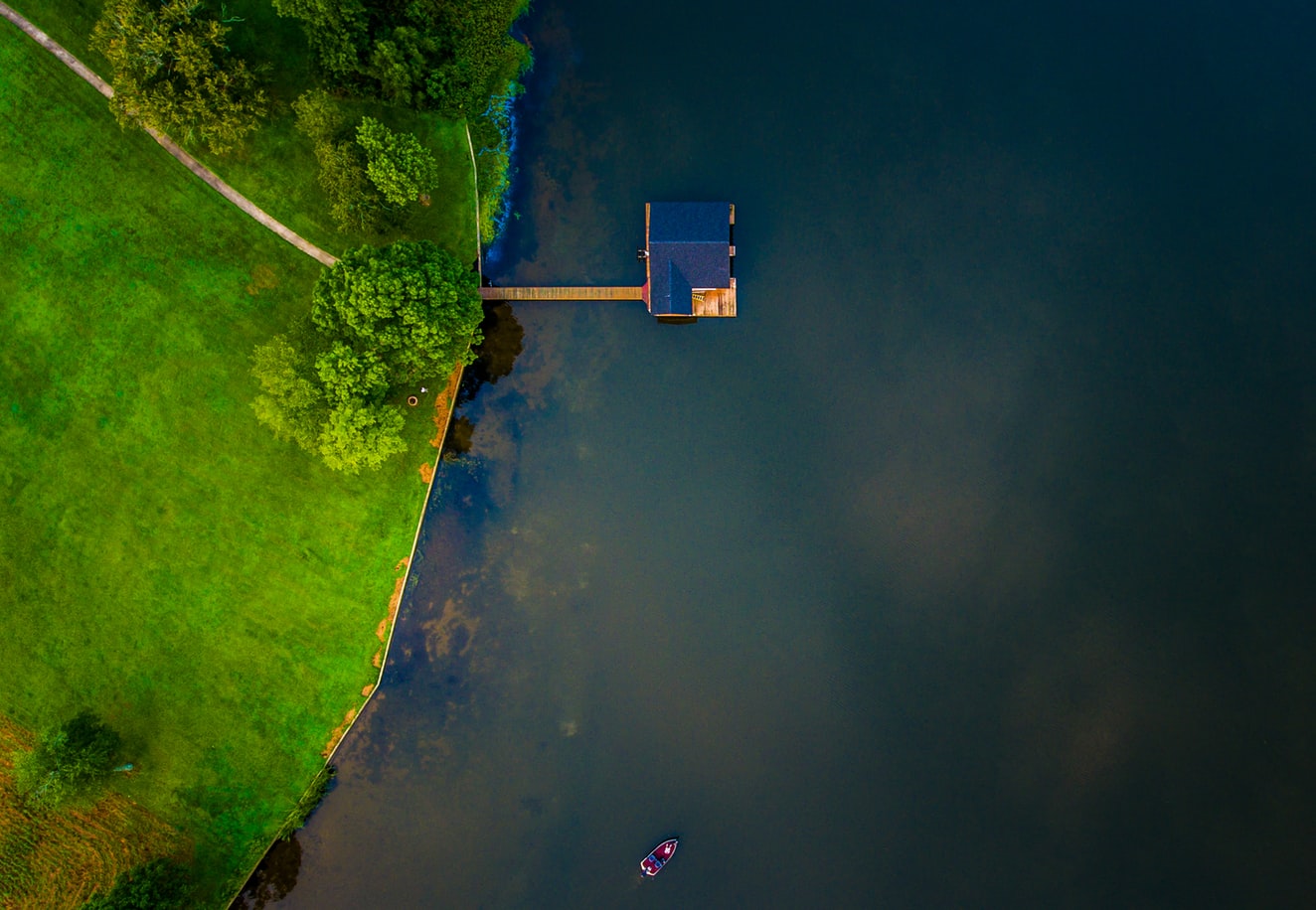
We apply remote sensing across very different project types, from topographic survey through to hydrologic analysis.
As a faster-moving world comes to rely on technology, we match the capture method to the specific project rather than to a house standard.
Discuss this work